And here's a photo of the Rhine itself. I'll admit its not the best photo: but its the only one I have. It was shot on our way to the airport in Dusseldorf.
If words are cheap, photographs in the age of digital cameras are even cheaper. Here's a running posting of watershed relevant photos.
Aug 31, 2008
Mighty Rhine
And here's a photo of the Rhine itself. I'll admit its not the best photo: but its the only one I have. It was shot on our way to the airport in Dusseldorf.
Aug 30, 2008
Rhine Bridge
Aug 29, 2008
Wetlands are not wastelands
Aug 28, 2008
The call of the gulf
Aug 27, 2008
Another turtle nest
Aug 26, 2008
No lifeguard on duty
Aug 25, 2008
Shells of paradise
Aug 24, 2008
Do not disturb
Aug 23, 2008
Aug 22, 2008
Muscovy duck
Aug 21, 2008
Do not feed ducks
Aug 20, 2008
Aug 19, 2008
Aug 18, 2008
Florida statute 161.242
Aug 17, 2008
tourist attraction
Aug 16, 2008
Aug 15, 2008
Aug 14, 2008
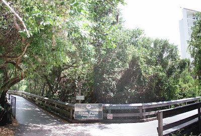
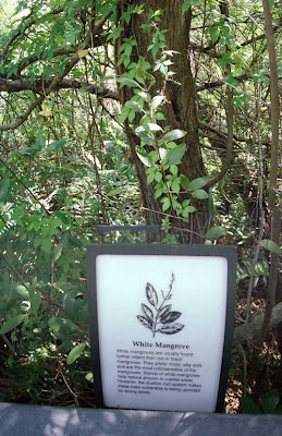
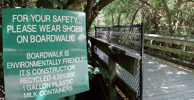
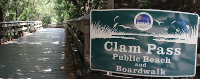
Clam Pass
Aug 13, 2008
Turbulence
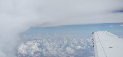
Speaking of strong currents, how about the vertical wind sheer you sometimes feel flying into a cloud. It's always hard to tell from the side windows of the plain whether the clouds ahead are going to be bumpy. I thought this one would bring us some turbulences, but it was a pretty smooth ride all the way through.
Aug 12, 2008
Gulf shore beaches
Aug 11, 2008
Strong currents
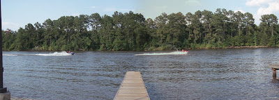
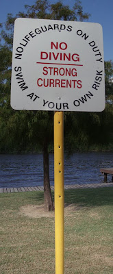 Always be safe when swimming in any water body, particularly when currents are strong, or you are unfamiliar with the water body. This photo was taken at Collier's Ferry. It was a Sunday and many people were swimming around and jumping from the dock. But flow rates in the river were low: its summer and July rains had been scarce prior to Dolly.
Aug 10, 2008
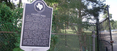
Collier's Ferry, TX
Aug 9, 2008
Water recreation
Aug 8, 2008
Do not anchor or dredge
Aug 7, 2008
Aug 6, 2008
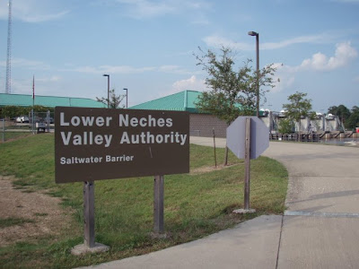
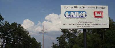
LNVA
Aug 5, 2008
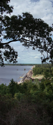
Another shot of Dam B
Aug 4, 2008
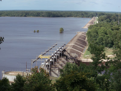
Dam B
Aug 3, 2008
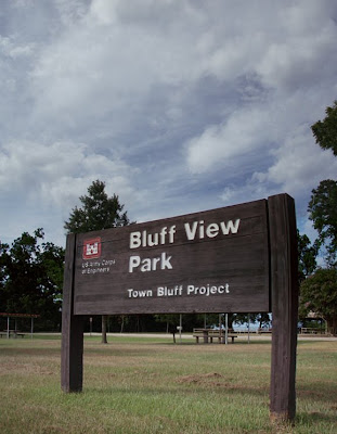
Bluff View Park, TX
Aug 2, 2008
Sanibel beach
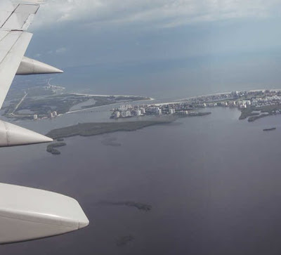
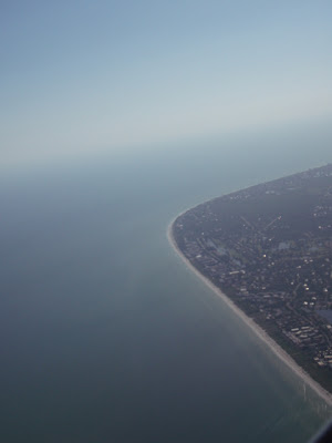 I took this photo from the airplane window, a few minutes before landing at RSW airport in Ft Myers. The way the islands sticks out from the coast apparently causes a gyre in the shallow gulf to the south, which is part of the reason that shelling is so good on the island -- the gyre is like a shell trap.
 Aug 1, 2008
Subscribe to:
Posts (Atom)
Submit your photos!
Submit your watershed photos to robert_sobczak@nps.gov. Please include your name, a brief caption, and when the photo was taken.


